

Please note: current access
- ⚠️ Park rules
Mu Ko Chang: the park authority lists Koh Thong Lang, Koh Kra, Koh Thian and dive locations near Koh Yak Yai, among others, as closed. Check the individual stops of a Koh Rang trip.
Checked on 25 October 2026 · Source: Official DNP page with park restrictions (Thai)
About Koh Rang island group
- Access type
- 🚤 Boat snorkeling
A trip to a reef, usually entering the water from the boat. - Location
- Trat; reached from Koh Chang, Koh Mak and Koh Kood.
- Activity
- Boat snorkeling and diving.
- How you get into the water
- A boat trip to selected reefs; you cannot swim there from the main beach of Koh Chang.
- Under water
- Coral gardens and schools of fish. A nice trip from the eastern islands.
- Good to know
- Only plan stops at permitted locations; do not assume that all reefs are open.
- Access now
- Park and activity-specific restrictions apply; check which spots are open (see the notice below).
When to go to Koh Rang island group
Month by month, following the seasons from our research. Weather, waves, current and tide on the day itself decide whether it works.
Main season: January, February, March, April, May, October, November, December.
Eastern islands (Trat, Koh Chang): the local operator names roughly October–May as the main season. Check the individual stops and park rules separately; not every stop is automatically open.
Source: bbdivers.com
Photos of Koh Rang island group

School of fish at Koh Rang Photo: kallerna · CC BY-SA 4.0 · Wikimedia Commons 
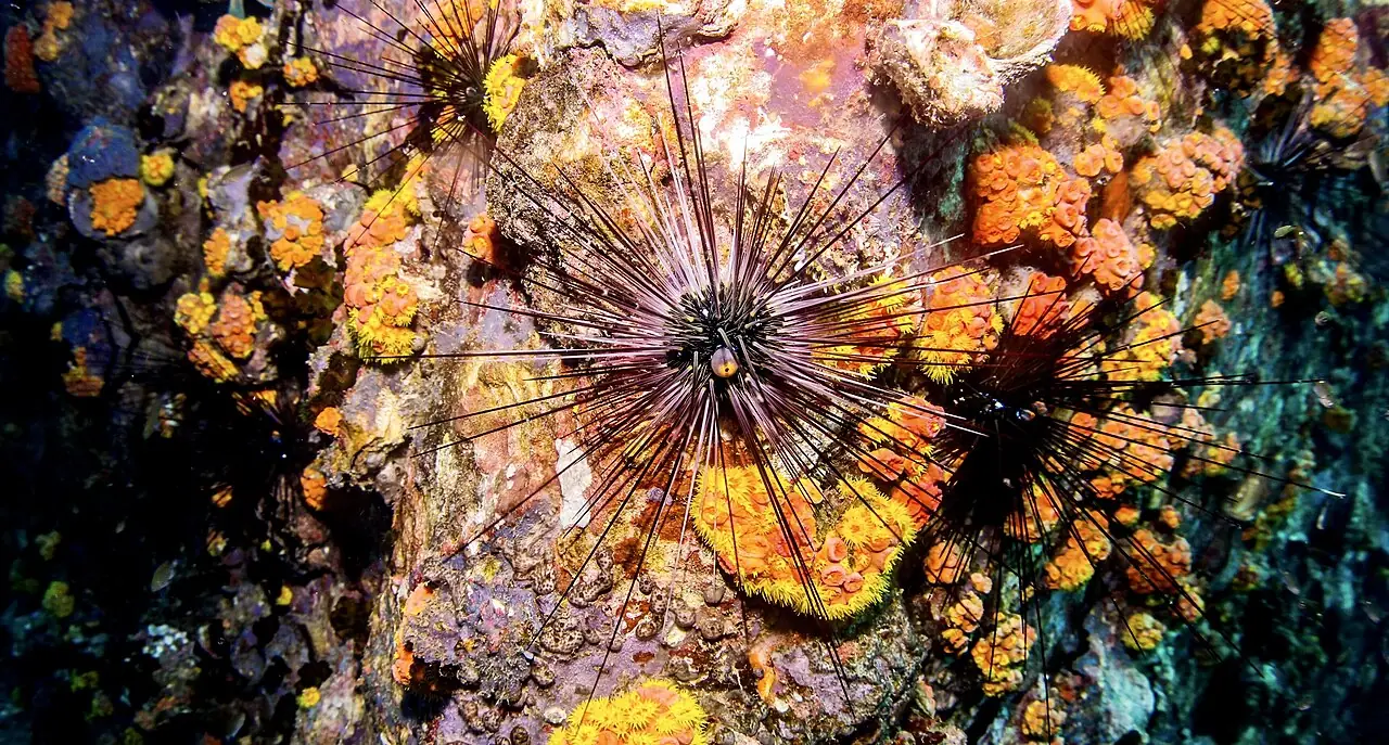
Sea urchin among coral at Koh Rang Photo: kallerna · CC BY-SA 4.0 · Wikimedia Commons 
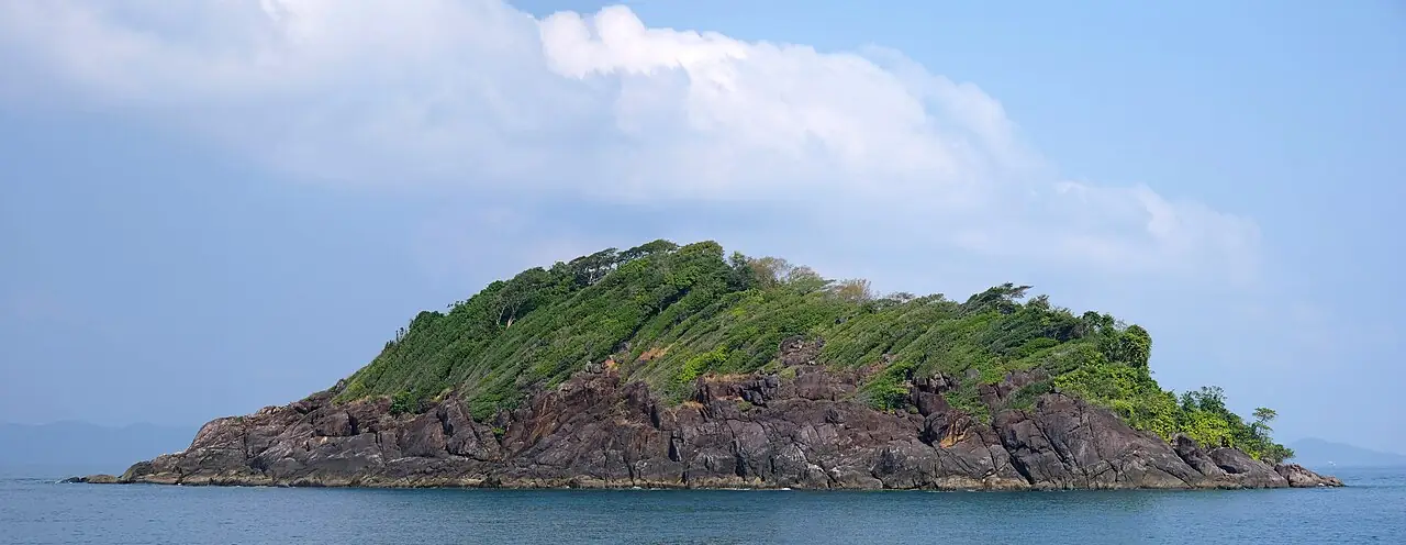
Small island next to Koh Rang Photo: kallerna · CC BY-SA 4.0 · Wikimedia Commons

Koh Rang island group on the map
Pinch to zoom; tap a point for more info. Open circles: approximate location.
About the location
11.79461, 102.38811. Approximate location. Centre of Koh Rang; the trip visits several reefs in the island group.
Source of the coordinates: OpenStreetMap: 'เกาะรัง' openstreetmap.org; Wikidata Q6424168 (11.8, 102.3833); Thai Wreck Diver 'Koh Rang Pinnacle' N11°48.630′ E102°22.300′
