
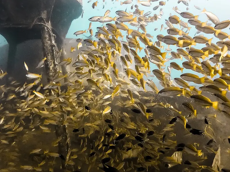
About HTMS Chang wreck
- Access type
- 🤿 Dive site
Mainly for scuba diving; not automatically suitable for snorkelers. - Location
- South-west of Koh Chang, Trat.
- Activity
- Wreck diving.
- How you get into the water
- Boat dive. The higher parts can sometimes be seen by experienced snorkelers, but that is no substitute for a shallow reef.
- Under water
- A shipwreck about 100 metres long that has become an artificial reef; lots of fish.
- Level and depth
- The seabed is around 30 metres; the higher parts are shallower.
- Good to know
- Depth and visibility decide what you see. Entering the wreck requires suitable training; looking at the outside is a different activity.
- Access now
- No separate, current guarantee of access was found; check local access and conditions on the spot.
When to go to HTMS Chang wreck
Month by month, following the seasons from our research. Weather, waves, current and tide on the day itself decide whether it works.
Main season: January, February, March, April, May, October, November, December.
Eastern islands (Trat, Koh Chang): the local operator names roughly October–May as the main season. Check the individual stops and park rules separately; not every stop is automatically open.
Source: bbdivers.com
HTMS Chang wreck on the map
Pinch to zoom; tap a point for more info. Open circles: approximate location.
About the location
11.89486, 102.25748. Location according to the source below.
Source of the coordinates: Thai Wreck Diver: 11°53′41.48″N 102°15′26.94″E thaiwreckdiver.com; OpenStreetMap openstreetmap.org (11.89446, 102.25736)
