
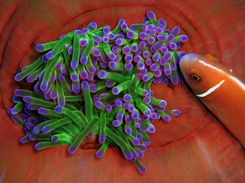
About Chumphon Pinnacle
- Access type
- 🤿 Dive site
Mainly for scuba diving; not automatically suitable for snorkelers. - Location
- North-west of Koh Tao, Surat Thani.
- Activity
- Mainly diving.
- How you get into the water
- No access from a beach; boat dive.
- Under water
- Rocks covered in anemones, schools of fish, groupers and moray eels.
- Level and depth
- The top is about 14 metres under water; the site goes much deeper.
- Good to know
- Less suitable as a first introduction. This is a dive site, not a snorkeling reef.
- Access now
- No separate, current guarantee of access was found; check local access and conditions on the spot.
More on our site
When to go to Chumphon Pinnacle
Month by month, following the seasons from our research. Weather, waves, current and tide on the day itself decide whether it works.
Main season: February, March, April, May.
Koh Tao and Koh Phangan: February–May is a strong general starting point. Suitable conditions can also occur in summer; pick the sheltered side of the island on the day itself. Later in the year the Gulf rainy season can have more influence.
Source: visitkohtao.org, outthailand.com
Chumphon Pinnacle on the map
Pinch to zoom; tap a point for more info. Open circles: approximate location.
About the location
10.17248, 99.77868. Location according to the source below.
Source of the coordinates: Thai Wreck Diver GPS 'Chumphon Pinnacles #1' N10°10.349′ E99°46.721′ thaiwreckdiver.com; OpenStreetMap openstreetmap.org (10.17193, 99.77831); PADI 10.17161, 99.78022
