

About Racha Yai
- Access type
- ⛵ Boat to the island first
You need a boat transfer; after that you can often snorkel from the beach. - Location
- South of Phuket.
- Activity
- Snorkeling and diving; a boat transfer is needed.
- How you get into the water
- First take a boat to the island. Then from the shore in several bays; tours also use boat entries.
- Under water
- Batok, Siam, Ter and Kon Kare each have their own conditions. Reef fish and underwater rocks.
- Good to know
- Ter and Kon Kare have a rocky entry. Choose the bay based on wind, tide and boat traffic: the island has no single entry point. A single photo of the island does not show where the snorkel entry is.
- Access now
- No separate, current guarantee of access was found; check local access and conditions on the spot.
When to go to Racha Yai
Month by month, following the seasons from our research. Weather, waves, current and tide on the day itself decide whether it works.
Main season: January, February, March, April, November, December.
Andaman Sea: roughly November–April, when the sea is calm more often. Check local weather, tides and park opening separately; the annual park opening and restrictions on individual reefs are two different things.
Source: outthailand.com
Photos of Racha Yai
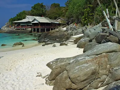
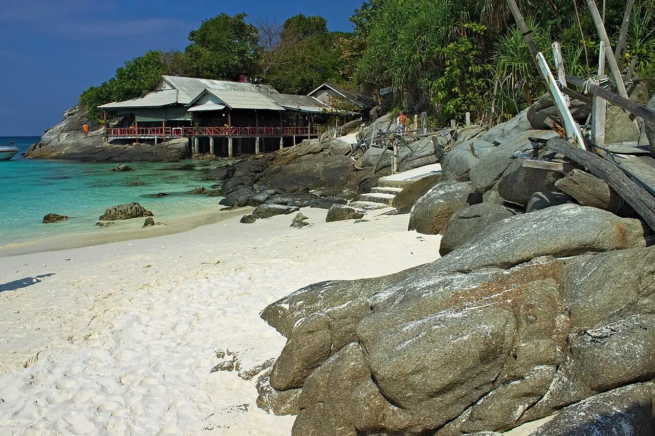
Rocks and beach on Racha Yai (Raya) Photo: Nicolas Vollmer from Munich [Allemagne] · CC BY 2.0 · Wikimedia Commons 
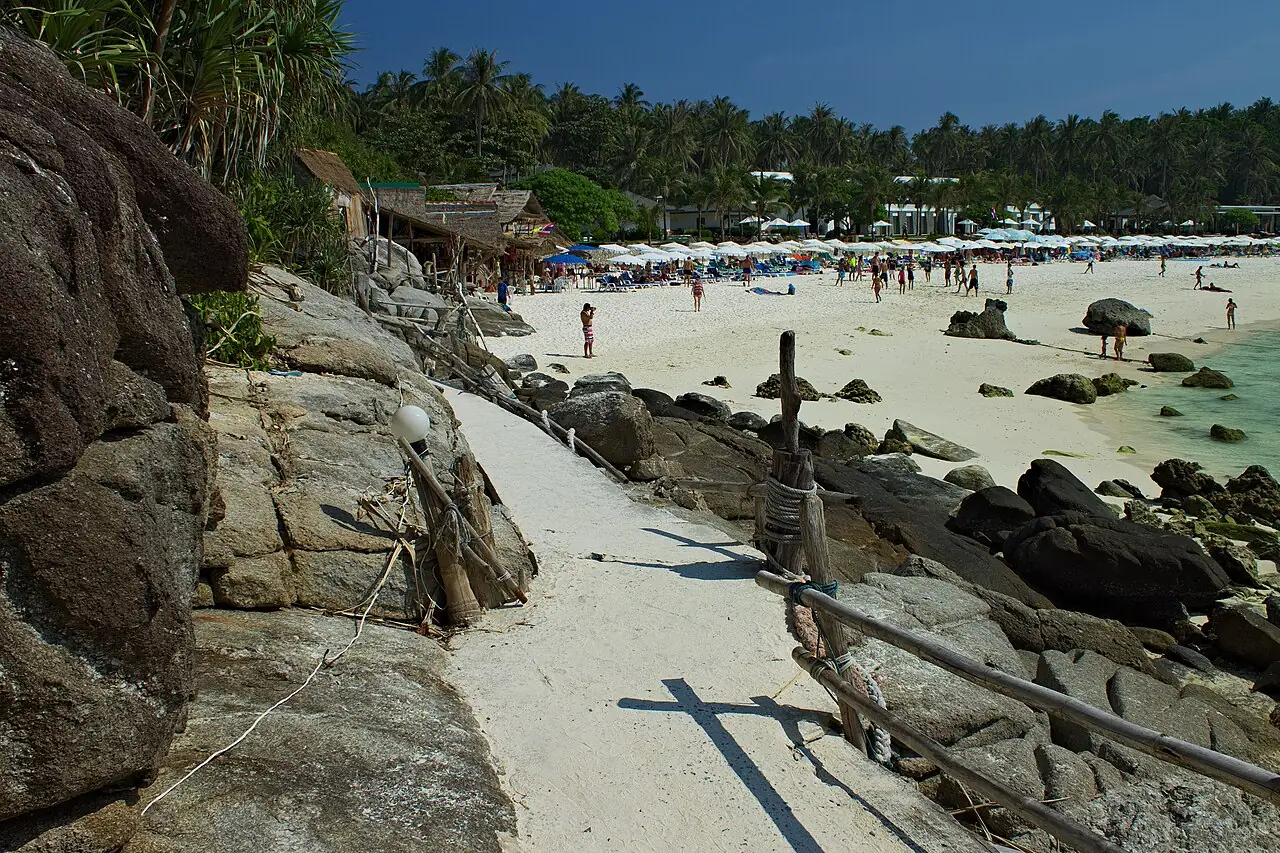
Path along the beach at Racha Yai Photo: Nicolas Vollmer from Munich [Allemagne] · CC BY 2.0 · Wikimedia Commons 
Racha Yai from the boat Photo: Roma Neus · CC BY 3.0 · Wikimedia Commons

Racha Yai on the map
Pinch to zoom; tap a point for more info. Open circles: approximate location.
About the location
7.60245, 98.36542. Approximate location. Centre of the island; you can snorkel from several bays (Batok, Siam, Ter, Kon Kare).
Source of the coordinates: OpenStreetMap: 'เกาะราชาใหญ่' openstreetmap.org; Wikidata Q49647385 (7.6003, 98.3656)
