

About Hin Daeng and Hin Muang
- Access type
- 🤿 Dive site
Mainly for scuba diving; not automatically suitable for snorkelers. - Location
- Southern Andaman Sea, reached from Koh Lanta.
- Activity
- Two separate dive sites, together on one page here.
- How you get into the water
- Boat dives; no access from a beach.
- Under water
- Red and purple soft corals, steep walls and a chance of large marine life.
- Level and depth
- For experienced divers. A depth of 60 metres or more describes the terrain; it is not a recommended dive depth.
- Good to know
- Exposed to the open sea, with possibly strong currents and drop-offs beyond recreational depths.
- Access now
- No separate, current guarantee of access was found; check local access and conditions on the spot.
When to go to Hin Daeng and Hin Muang
Month by month, following the seasons from our research. Weather, waves, current and tide on the day itself decide whether it works.
Main season: January, February, March, April, November, December.
Andaman Sea: roughly November–April, when the sea is calm more often. Check local weather, tides and park opening separately; the annual park opening and restrictions on individual reefs are two different things.
Source: outthailand.com
Photos of Hin Daeng and Hin Muang

Lionfish at Hin Daeng Photo: portioid · CC BY-SA 4.0 · Wikimedia Commons 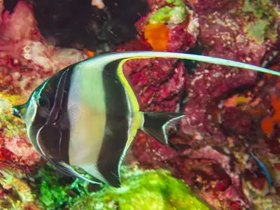
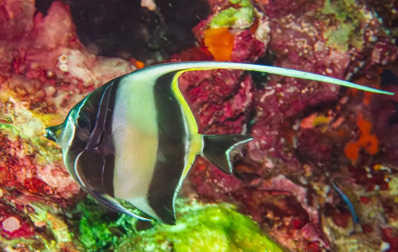
Moorish idol at Hin Daeng Photo: portioid · CC BY-SA 4.0 · Wikimedia Commons

Hin Daeng and Hin Muang on the map
Pinch to zoom; tap a point for more info. Open circles: approximate location.
About the location
7.15217, 98.82077 · Hin Muang: 7.15942, 98.83132. Approximate location. Point for Hin Daeng from a dive-site database; Hin Muang lies close by and is shown as a second point on the map. A point on OpenStreetMap lies some 24 km further north and was not used.
Source of the coordinates: PADI dive-site location Hin Daeng 7.15217, 98.82077 padi.com and Hin Muang 7.15942, 98.83132 padi.com (same values on divenavigator.com)
