


About Phu Kradueng National Park
A flat-topped mountain in Loei with a plateau at about 1,300 metres, reached by a steep hike. Up top you camp among pine forest, waterfalls and cliff viewpoints. Closed in the rainy season (1 June – 30 September).
Highlights
- Plateau hike
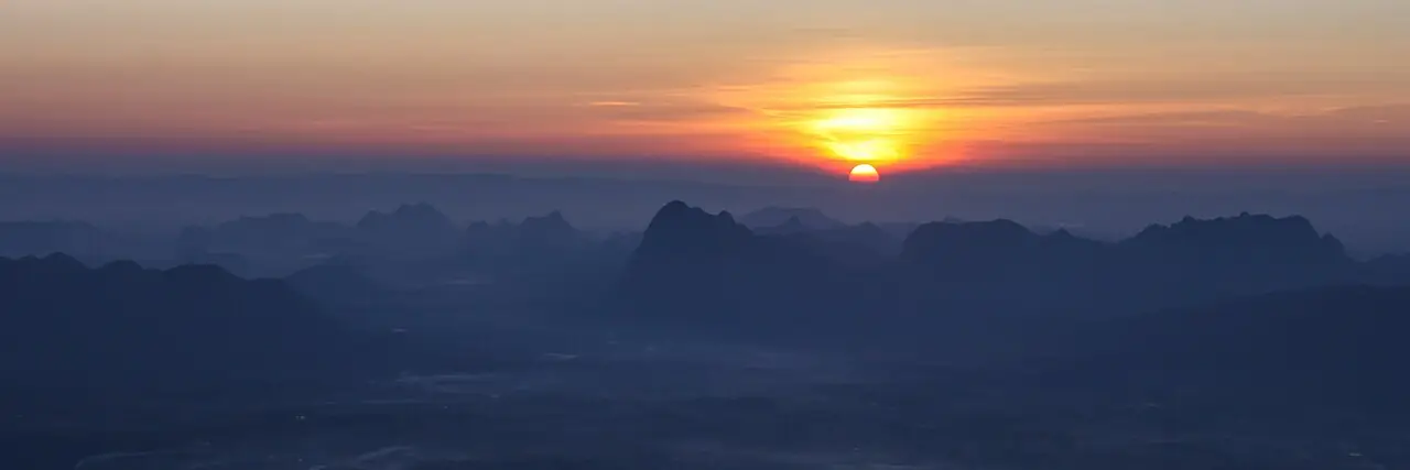
- Cliff sunrise and sunset
- Camping in pine forest
In depth on our site
Phu Kradueng National Park also has a full entry on our nature page, with more photos and tips.
When to visit Phu Kradueng National Park
Month by month: good, OK or less good, based on average rain and temperature (Buriram climate).
Best months: January, February, November, December.
- January Dry: about 8 mm on 1 rain days, max 31°C (Buri Ram climate)
- February Dry: about 10 mm on 2 rain days, max 34°C (Buri Ram climate)
- March Dry but very hot: about 56 mm on 5 rain days, max 36°C (Buri Ram climate)
- April Some rain: about 81 mm on 8 rain days, max 37°C (Buri Ram climate)
- May Rainy season: about 203 mm on 15 rain days, max 35°C (Buri Ram climate)
- June Park closed to visitors (1 June – 30 September)
- July Park closed to visitors (1 June – 30 September)
- August Park closed to visitors (1 June – 30 September)
- September Park closed to visitors (1 June – 30 September)
- October Some rain: about 107 mm on 14 rain days, max 31°C (Buri Ram climate)
- November Dry: about 30 mm on 4 rain days, max 31°C (Buri Ram climate)
- December Dry: about 13 mm on 1 rain days, max 30°C (Buri Ram climate)
Source: climate figures from our weather page: Weather and climate.
Practical information
- Location
- Loei (Approximate location.) · 16.86917, 101.83639
- Type
- 🌿 Nature
- Best time of day
- Sunrise
Opening hours and entry fee: no reliable source found, so not listed. Ask on site or check the official website.
More photos of Phu Kradueng National Park
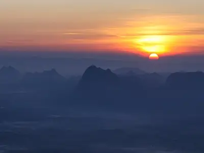
Phu Kradueng National Park (2) Photo: Manoonp · CC BY-SA 3.0 · Wikimedia Commons 
Phu Kradueng Photo: Jeremy Holton · CC BY 3.0 · Wikimedia Commons 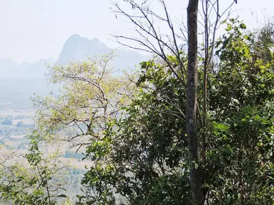
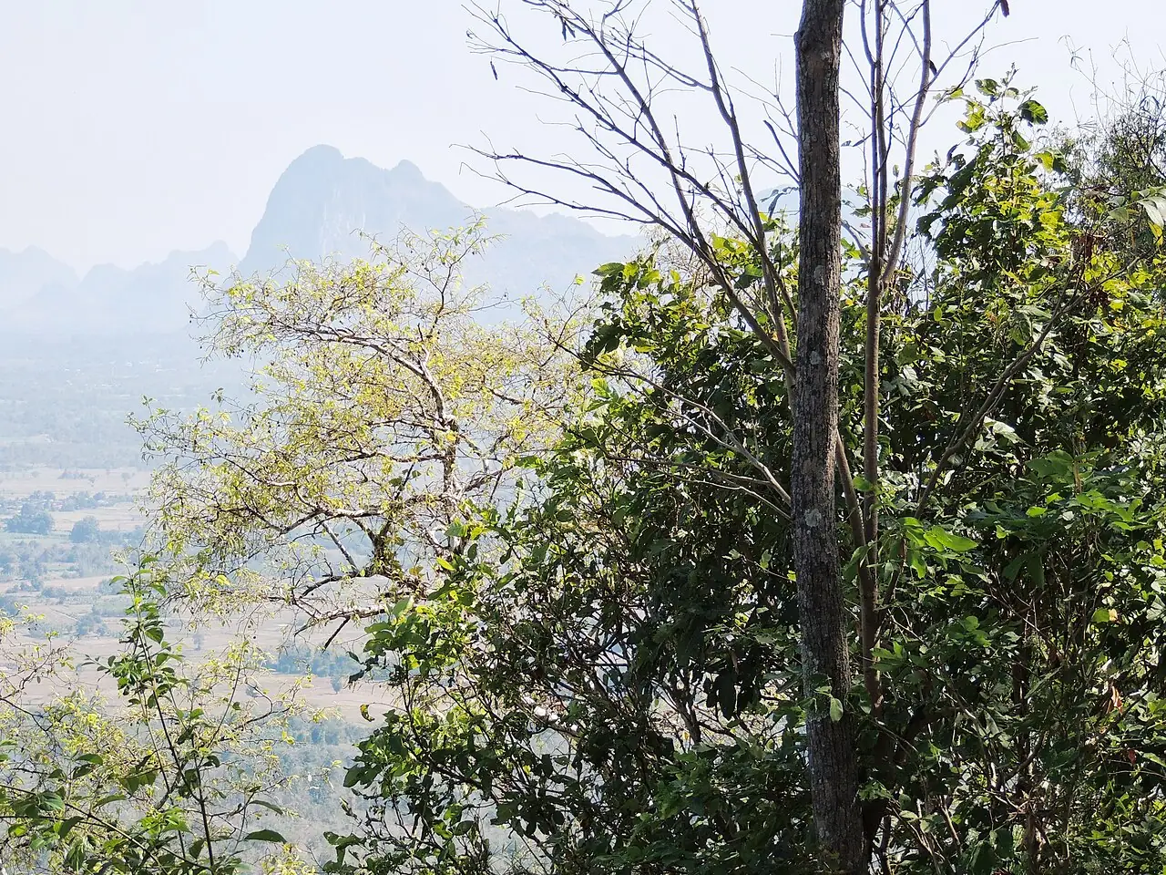
Phu Kradueng Photo: Jeremy Holton · CC BY 3.0 · Wikimedia Commons

Phu Kradueng National Park on the map
Pinch to zoom; tap a point for more info. Open circles: approximate location.
