
Please note: current access
- ⚠️ Park rules
Similan and Surin: the reopening for the season in October 2026 has been announced. Individual protected spots may stay closed; the park page mentions Koh Tachai and other individual Similan locations, among others. An open park does not mean every island or reef is open.
Checked on 25 October 2026 · Source: TAT Newsroom: The Andaman Opens Its Doors Again (20 October 2026), Asian Trails: Similan and Surin reopening on 15 October 2026, Official DNP page with park restrictions (Thai)
About Similan Islands
- Access type
- 🚤 Boat snorkeling
A trip to a reef, usually entering the water from the boat. - Location
- Phang Nga, reached from Khao Lak; Mu Ko Similan National Park.
- Activity
- Boat snorkeling and diving.
- How you get into the water
- A boat is needed; snorkel stops include Ba Ngu and Payu. Beach stops are a separate thing.
- Under water
- Granite underwater landscape, reef fish and a chance of turtles.
- Good to know
- A well-known beach stop is not automatically the best snorkel stop. An open park does not mean every island or reef is accessible; some individual spots remain closed.
- Access now
- Park and activity-specific restrictions apply; check which spots are open (see the notice below).
When to go to Similan Islands
Month by month, following the seasons from our research. Weather, waves, current and tide on the day itself decide whether it works.
Main season: January, February, March, April, November, December.
Andaman Sea: roughly November–April, when the sea is calm more often. Check local weather, tides and park opening separately; the annual park opening and restrictions on individual reefs are two different things.
Source: outthailand.com
Photos of Similan Islands
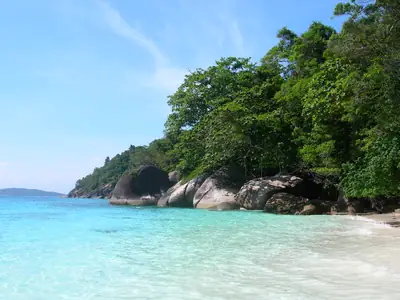
Beach in the Similan Islands Photo: Electrostatico · CC BY-SA 2.0 · Wikimedia Commons 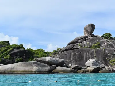
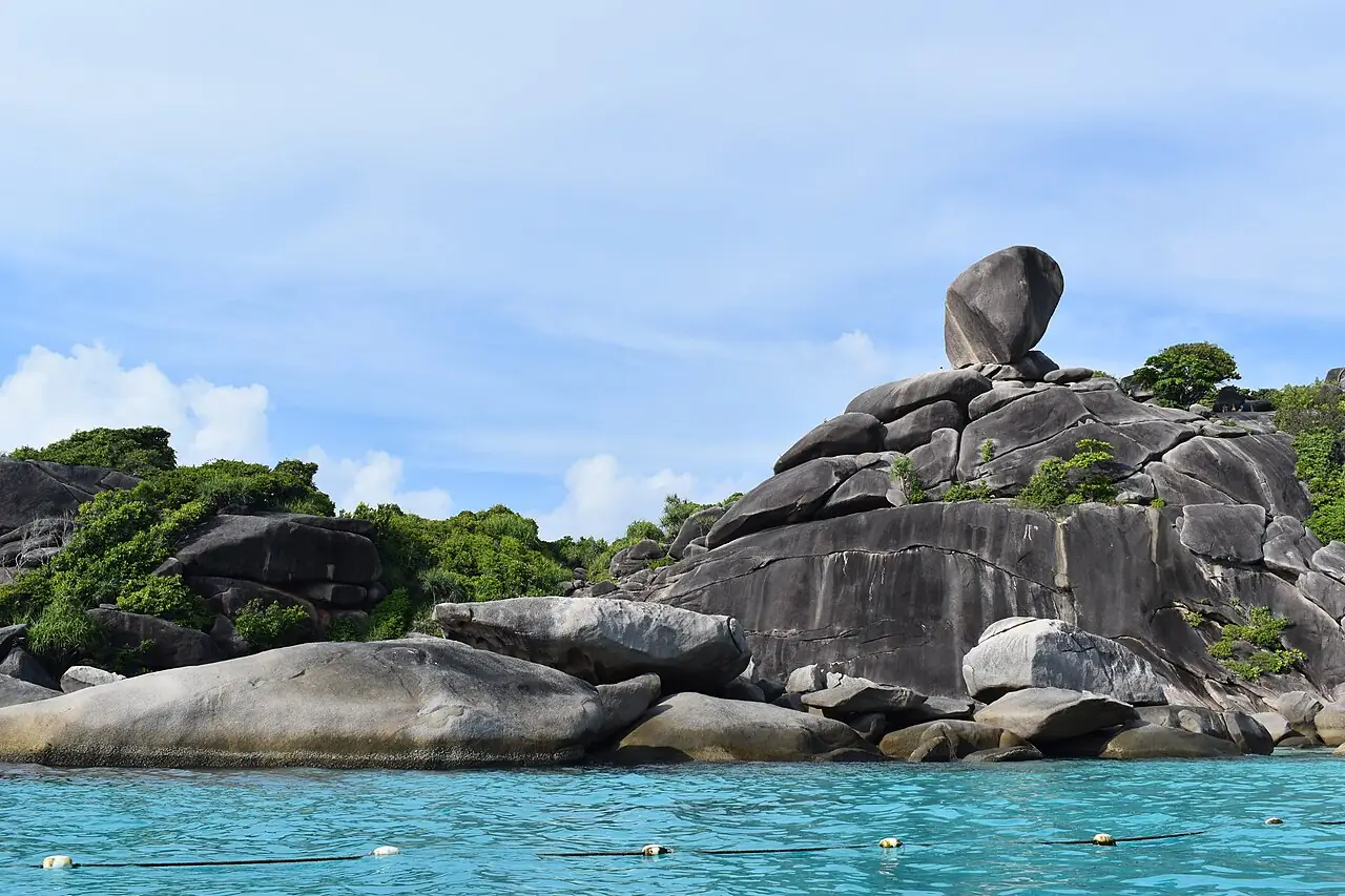
The famous rock at Donald Duck Bay Photo: No Troubles Just Bubbles · CC BY-SA 4.0 · Wikimedia Commons 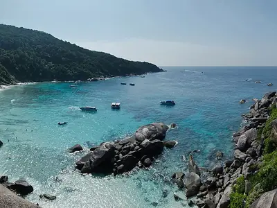
View over a bay on Ko Similan Photo: Mathias Krumbholz · CC BY-SA 3.0 · Wikimedia Commons 
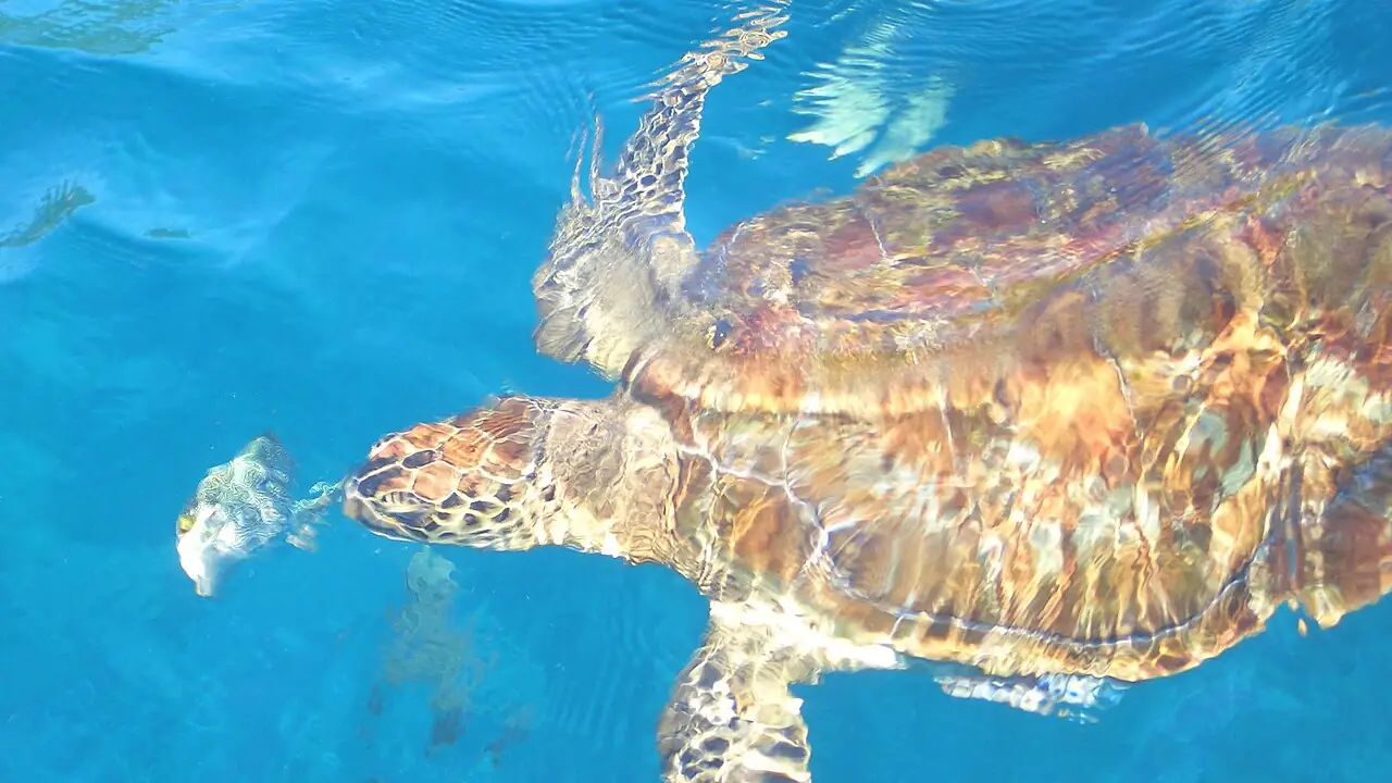
Sea turtle at the Similan Islands Photo: Reinhard Link from Germany · CC BY-SA 2.0 · Wikimedia Commons 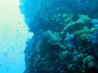
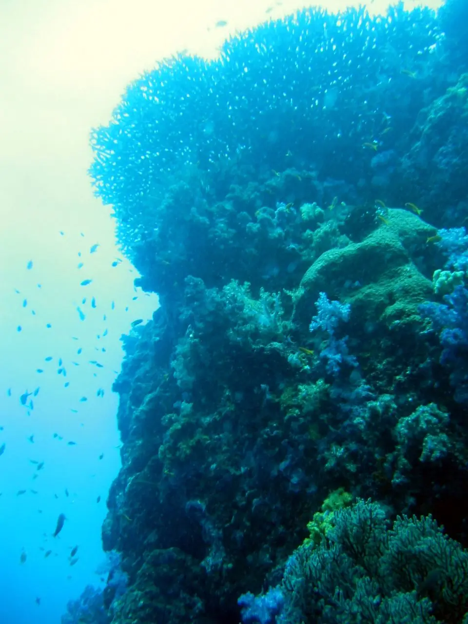
Coral reef at East of Eden, Similan Photo: 29cm from Hong Kong · CC BY-SA 2.0 · Wikimedia Commons


Similan Islands on the map
Pinch to zoom; tap a point for more info. Open circles: approximate location.
About the location
8.65250, 97.64083. Approximate location. Point for the island group; the stops (including Ba Ngu and Payu) are spread out.
Source of the coordinates: Wikidata Q1371403 'Similan Islands' (8.6525, 97.6408) wikidata.org
